Project Details
Abstract
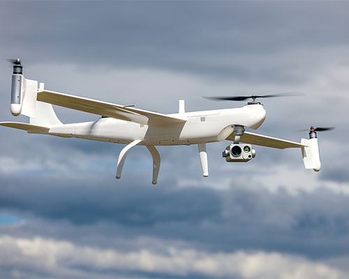
 This proposal outlines a plan to synthesize, assess, and prioritize methods used to inspect transportation infrastructure using an existing fleet of fixed and rotary wing UAS aircraft along with state-of-the-art imaging equipment. This includes thermal, RGB, LiDAR, and SfM techniques with a special focus on determining rates at which inspection data can be collected and direct comparisons between more traditional inspection methods and those completed assisted by UAS resources. A significant educational component is included, with a new permanent undergraduate course being developed titled Engineering With Drones. This proposal explains the methods used, the outcomes expected, and the educational/training plan that will be used to train personnel using these tools.
Project Word Files
project files
- UTC Project Information (Word, 86K)
Note to project PIs: The UTC document is limited to two pages. Also, it would be helpful if the Track Changes feature is used when editing either document above. Updated documents should be emailed to ndsu.ugpti@ndsu.edu.